Understanding the Virtual EO Lab platform

Virtual Lab. Extremely advanced, user friendly platform allowing to perform a wide range of activities aimed at (but not limited to) EO data processing in different dimensions and models, built mostly upon advanced Hexagon Geospatial M.App Enterprise solution providing:

  1. Access to Copernicus satellite data available on CREODIAS platform
  2. Efficient and scalable cloud processing environment (EO Virtual Lab solution pilot has been implemented in CREODIAS Front Office)
  3. Web-based GUI for building spatial models (based on drag-drop principle);
  4. More than 400 spatial operators and development kits, supporting wide array of geoprocessing activities possible to be combined with advanced business analytics; 
  5. Possibility to easily build dynamic dashboards with user-friendly interfaces;
  6. Options to deploy own customized models, scripts and other elements of the processing or analysis;
  7. Simple and efficient way to publish on the Web services for external users;
  8. Advanced user access control and management (e.g. with possibility for a teacher to manage access details for his students within the assigned school environment or in commercial use to control access to published services by different customers); 
  9. Detailed control of resources use allowing for flexible billing schemes;
  10. Simplicity of use as basically no programming skills are required. The interface is self-guiding, allowing for investigative learning;
  11. Possibility to re-use Hexagon ERDAS or Smart M.Apps related knowledge and experience as all these products have common roots.

The figure below shows the example of processing recipe defined in the M.App Enterprise Spatial Workshop interface:


Results Repository – a space for Lab users to store and share their work with others (e.g. to be re-used or developed further), as the recipes can be easily adjusted and/or re-developed to facilitate another use. There is also a possibility to ask for support (from within the users community or commercial) and to have a recipe developed or checked by experts.

Data & Services Publication Portal – provided in native form by M.App Enterprise solution but possible to be further developed an adjusted to specific needs, for example to a customized marketplace with possibility to publish services or data to selected groups of commercial customers. The basic functionality allows controlled Web access from computers and mobile devices with easy possibility to select and run the services published and made available for certain users. From the user perspective there is no need to know about the Lab existence – services can be accessed from the Internet and, if so designed, can be used by people with no IT, EO, remote sensing or geoprocessing experience.

Get 5 hours of processing usage as a gift together with GEO Premium Subscription

Start using Virtual EO Lab now!

What are the benefits using Virtual EO Lab?

The benefits of EO Lab use can be described as follows:

  1. For Educational institutions (schools, universities, academies):
    1. No need to invest in any dedicated infrastructure or to hire trained IT personnel
    2. Possibility to pay per use or to select subscription model covering:
      1. Access to the virtual lab (e.g. 2 x 15 students in concurrent sessions for 4 weeks)
      2. Access to the full archive of satellite data
      3. Access to the Educational module
      4. Pre-defined data sets for experiments
      5. Ready-made syllabuses for lab courses
      6. Scoring compatible with ECTS
  2. For science and business:
    1. No IT infrastructure purchases needed 
    2. No need to invest in own IT personnel and IT security
    3. No need to buy and manage SW licenses
    4. Possibility to process data in many dimensions without IT scripting competences
    5. Expert support available on demand
    6. Possibility to integrate own processing solutions/scripts into the standardized flow
    7. Easy integration of data from different sources (not limited to geospatial or satellite imagery) allowing to generate additional value
    8. Easy publishing of developed services with controlled end user access and possibility to created thematic portals
    9. Fast prototyping possibility (solution to non-standard requests available in very short time), extremely useful e.g. in crisis/emergency management 
    10. Results repository allowing reuse
    11. Complete solution for EO start-ups and hackathons
    12. Possibility to create very advanced solutions with intuitive and user-friendly interfaces allowing for multidimensional interactions and dynamic results analysis.

The portal consists of three basic modules: Management, Studio and Apps.

The Management module allows to manage and supervise all activities taking place on the platform. The Studio module contains tools that allow to import data, edit data, create own mapping applications and manage access to applications, while in the Apps module all created applications can be published and accessed.

Management Module - The module is managed by the master administrator (at top level), who:

  • defines new tenants and creates the Studio administrator account

  • creates new DB connections for each user

  • manages the license utilization based on the overview of usage

  • assigns charges to users

  • manages error logs related to the management module and services

Tenants

Tenant is a sub-administrator of Studio users, who can

  • add content to Apps

  • configure and administer the assigned Apps area

  • Text length of individual points can be shorter or longer depending on your needs

Get 5 hours of processing usage as a gift together with GEO Premium Subscription

Start using Virtual EO Lab now!

Studio Module

M.App Enterprise Studio consists of four main sections allowing for content management, as well as for application design, creation and modification for three different platforms: desktop, browser and mobile. On top of that it gives users the possibility to manage access rights and data caching

Studio functionality

  • Content: imagery upload, vector data upload, creation of the definitions for connections with geoservices (WMS, WFS, WMTS), creation and modification of displayed data styles, creation of connections to databases, custom CRS definitions creation, data license management

  • Desktop Apps – this section allows to create desktop applications, with possibility to define map objects and layers, to open requests towards external data sources and to create actions set, possible to be used at applications start or execution

  • Browser Apps – section allowing to create Web applications, with possibility to define objects with the assigned presentation style and access to tools sets: Feature Analyzer – for analysis and Spatial Workshop – for geoprocessing and maps spatial area definition with Map Views tool

  • Mobile Apps – for mobile applications creation, allowing to configure layers used in mobile systems, data sets, applications working areas and to read logs retrieved from mobile devices

  • Security – allowing to create users and roles. This tab allows also to define password policies and to manage API keys. Studio administrator is able to create and manage users an their access to Studio module and the applications by assigning the relevant roles. Access to each user account is protected by a password, defined at the first log-in and compliant with the password policy (defined by the system administrator in Passwords module). There is also a possibility to manage API keys and review logs

Apps Module

Feature Analyzer - provides a smart and intuitive, user-friendly environment for solving spatial problems. With this tool it is possible to easily create, manage and share interactive reports about a given phenomenon. Spatial Workshop tool allows to create customized spatial models in form of block diagrams representing a set of interconnected operators. Operators can be described as objects containing pre-defined processing schemes allowing to transform input data or to extract the information necessary for further processing. Processing models (so-called “recipes”) can be created in simple and intuitive way by dragging and dropping selected operators from the library to the design window and then by connecting appropriate nodes with flow arrows.

How Virtual EO Lab is created?

Virtual EO Lab service concept has been originally developed as one of the important elements of the “DIAS Seed” program, designed and managed by Creotech Instruments S.A., leader of the CREODIAS consortium delivering one the four Copernicus Data and Information Access Services Platforms (DIAS) contracted by the European Space Agency (ESA) and expected to boost user uptake, stimulate innovation and creation of new business models based on Earth Observation data and information.

Such target wouldn’t be possible to be achieved only by bringing processing close to the data sources, what has been the general principle of DIAS. Data and processing availability has to be supplemented by a set of activities aimed at building awareness, developing the required set of competences, creating and adding value, driving the necessary mindset change. The activities should be targeted at different groups of users and tailored to provide the required development support using various methods and at different complexity levels.

Original EO Lab concept has been based on the idea of establishing a dedicated environment, allowing for practical contact with different aspects of EO data processing, targeted mostly at university students. The idea has then evolved, finally leading to the modular, user focused service, catering for needs of the different groups of possible users – from students of schools and universities through startup companies, public administration, research and scientific institutions to EO professionals, developing and delivering services to commercial market.

In order to separate unambiguously the cost of commercially delivered service, the full responsibility for EO Lab development and implementation within CREODIAS Front Office has been handed over to NewMap – geospatial data focused company owned by Creotech and WIZIPISI (Wroclaw Institute of Geospatial Information and Artificial Intelligence, one of CREODIAS consortium members) . 

The service concept has been based on the following elements:

-Modularity  - service made of blocks allowing for customized configurations and close adjustment to customers’ needs

-Efficiency – minimizing the time needed to achieve results, important for example in fast prototyping

-Flexibility – possible to be seen in different dimensions:

  • advanced access and user management
  • independence from the hardware environment and data sources – possible to be established in different setups and locations (not limited to DIAS only)
  • ways to use of own proprietary solutions (e.g. own research results or customized processing models)

-Reliability – solution based on well-developed and supported COTS environment

-Accessibility – easy access both to the Lab environment and to the published results, allowing sharing or commercial delivery of services and/or other products

  • Optimized cost and flexible charging schemes – with basic assumption of pay-per-use model covering all the related expenses, with no need to have commercial relationship with infrastructure or SW licenses providers

The basic design of the service includes 4 major modules


-Educational, aimed at building competence and skills needed to use the Lab environment efficiently

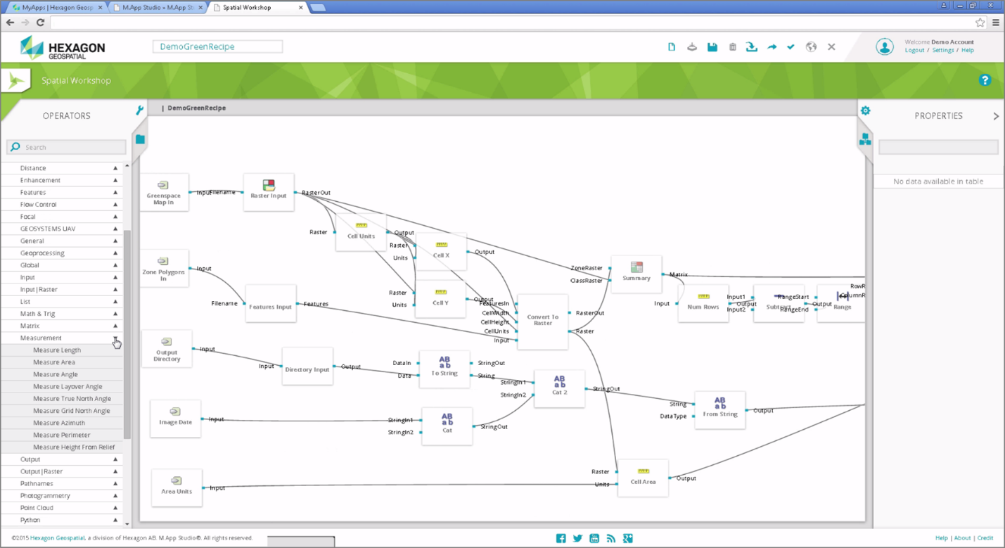
-Lab itself – area allowing for unlimited scope of practical activities, aimed at (but not limited to) EO data processing in different dimensions and models, built mostly upon advanced Hexagon Geospatial M.App Enterprise solution

-Results repository – a space for Lab users to store and share their work with others (e.g. to be re-used or developed further)

  • Service delivery portal – allowing services publishing and delivery to end users 

The added value elements of the proposed solution depend on the specific user group, with some commonalities, like no need of infrastructure or SW licenses purchases with all benefits of the pay-per-use or subscription based charging models, fast development/prototyping possibilities, pre-defined configurations or activities, etc.

NewMap

NewMap Sp. z o.o. is a newly established company based in Warsaw, Poland, specializing in satellite imagery usage e.g. in real estate market applications and currently employing 5 people (an outcome of Space3ac business accelerator). Despite the short history the company has on board vast experience in geospatial/satellite data processing and is currently involved in more than 10 projects within the related areas. These activities are monitored and supported by parent companies – Creotech Instruments S.A. and WIZIPISI (Wroclaw Institute of Spacial Information and Artificial Intelligence), members of CREODIAS consortium – one of the 4 consortia delivering Copernicus DIAS platforms for ESA. NewMap is a center of EO and Project Management excellence and an important element of CREODIAS services and tools support (platform has been put into commercial operation in June 2018). NewMap has implemented Hexagon Geospatial M.App Enterprise solution in the CREODIAS commercial Front Office as a horizontal service (available for other companies to be used as a base for various end-user services) and also takes a part in Copernicus Relays program activities in Poland, providing tailored workshops and presentations support.